WEATHER ALERT
ENVIRONMENT CANADA
************************
Special weather statement in effect for:
Barrie - Collingwood - Hillsdale
Orillia - Lagoon City - Washago
Potential brief severe wind gusts Friday.
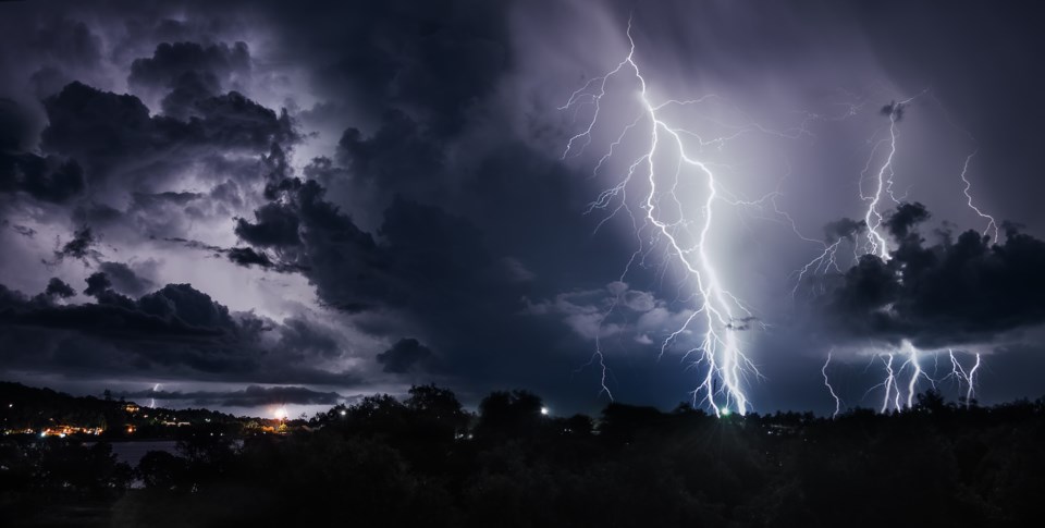
A strong cold front will sweep across the regions late Friday morning and Friday afternoon. A band of scattered showers or thunderstorms is expected to develop just ahead of the front.
The band will affect areas near Lake Simcoe in the late morning or around noon, then move rapidly eastward to reach eastern Ontario in the mid afternoon.
Winds gusts near or in excess of 90 km/h will be possible in some areas as the band moves through. Given that the showers and thunderstorms are expected to be scattered, strong wind gusts will only affect some areas with low confidence as to the locales most likely to be affected.
Power outages are expected where high wind gusts occur.
Environment Canada will continue to monitor this situation closely.
Please continue to monitor alerts and forecasts issued by Environment Canada. To report severe weather, send an email to [email protected] or tweet reports using #ONStorm.


