Geoparks. That’s not a thing I knew anything about until recently.
I’ve read a bit about them since and learned that it might cost $50,000 to be able to claim we have one, according to a request by the Midland Bay Landing Development Corporation (MBLDC) that recently received council approval.
Promenade – that’s one I already knew and it looks like we can get 100 metres or so of one for somewhere in the neighbourhood of $150,000, which is the amount the MBLDC has unspent from last year’s budget.
So, they’ve been busy at the Development Corp. and the Board, which is all in on these two initiatives and Council, which is prepared to pony up some bucks, are keen.
For me, though, these reports have brought some questions to mind and I’ve been doing some reading and some reminiscing.
I went to the two consultation sessions that were held a decade ago to give the public an opportunity to discuss the future of the property acquired by the Town.
They were among the best attended of such events I’ve been to in Midland and people were excited by the possibilities. The Plan that the MLBDC had been working on was well received in general, I think.
But 10 years and world-changing events have a way of encouraging people to take another look at things and to ask some questions.
So, Geoparks – a UNESCO designated area containing one or more sites of particular geologic importance, intended to conserve the geological heritage and promote public awareness of it, typically through tourism.
There are 141 of these in 41 countries. Five of them are in Canada.
Percé, Québec – 40 km squared of the Appalachian Mountain chain formed by glacial action, home to several geological phenomena and where the Geological Survey of Canada started.
Stonehammer, New Brunswick – 2,500 km squared, site of 60 significant geological and fossil locales and of complex geological events including the collision of continents, volcanoes, earthquakes, ice ages and climate change.
Tumbler Ridge, British Columbia – eastern slopes of the Hart Ranges of the Northern Rocky Mountains exhibiting a history of glaciation, erosion, sedimentation and with a stratigraphic section spanning 600 million years and dinosaur bones, tracks and fossils.
Cliffs of Fundy, Nova Scotia – the Minas Basin, home to wide biodiversity and topography ranging from mountains to marshlands, lava beds and the world’s highest tides.
Discovery, Newfoundland and Labrador – 280 km of rugged coastline with caves, arches and sea-stacks as well as sedimentary, volcanic and plutonic rocks half a billion years old.
And then there’s Midland’s Unimin lands which was the subject of a Natural Heritage System Review by the SSEA in 2009, as reported on pg. 8 of the Master Plan for the site.
The report noted “no significant natural heritage features or functions to be protected. Combined natural heritage score was very low due to small habitat patch size, high degree of isolation, lack of special features/functions and high level of disturbance.”
So I wonder – what is it about our 40 acres that will interest UNESCO and why does the MBLDC Board think we should be spending that kind of money on it?
MidlandToday reports that at the MBLDC AGM on Dec. 9 of 2020, “(chair Bill ) Kernohan was of the opinion that North Simcoe carries many of the qualities that other Canadian Geoparks possess” and that Midland and area possess the physical assets, culture and history of a Geopark.
He also said that such a Park will “promote sustained economic growth” and “enhance development by extending tourism.” Some members of Council were present and expressed enthusiasm, going so far as to “unanimously pass the MBL request to spend $50,000 on the study for the purpose of the designation.”
The minutes of the MBL Board meeting of January 22 say the study will be funded by a County Economic Development Grant, but it’s still taxpayers’ money.
Now, there are times we are talking about North Simcoe and then other times we talk about the MLB property.
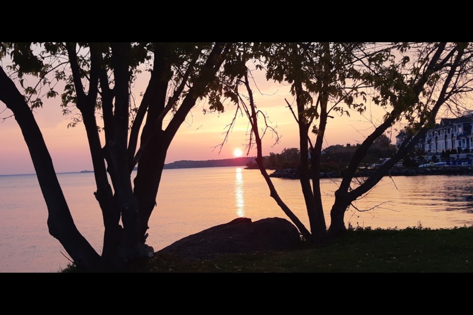
If the property is to be the prime attractor, we should maybe look at the same report by the SSEA which goes on to say: “The natural features associated with the Unimin lands represents the largest green space block within the larger study area setting and one of the few accessible natural areas along the Midland Harbour Shoreline.”
Let’s emphasize the words ‘largest’ and ‘accessible’ and ‘green’. Look at what’s happened to the rest of our waterfront. Now think what could be made to happen at this last, large, accessible and green piece of land.
Well, that’s what the Board is hoping to show us. A Promenade which will, I guess, be modelled on the one pictured in the Master Plan for a shoreline walkway with trees, a multi-use trail and a sidewalk.
Of course, they will only be putting up 75 to 100 metres of this for now, though they say it will become a permanent part of the finished product, which will run from the privately owned shoreline belonging to a residential development to the marina which we will be able to walk around to get to the Town docks and the downtown.
This may be a part of what was announced with some fanfare on January 7, 2020 – a “massive overhaul” to “open the prime piece of waterfront real estate up to potential developers and investors.”
They were going to spend $250,000 “clear out, grade, fence off and beautify a small sliver for interim public use” but that seems to have been reduced to this few metres of promenade.
What this construction won’t be able to show us is what comes beside the 22 metre strip – an 18 metre road. Two lanes of traffic and one for parking. Then there’s a sidewalk, a space of up to 3 metres for ‘market space’ (restaurant patios and outdoor stalls, I presume) and then storefronts.
People sitting on the patios will face cars, not a natural landscape, and breath exhaust.
People trying to get from the park section to the restaurants and stores will confront the traffic and over all we will experience the gift of summer those of us who walk often in Little Lake Park have come to know and love – the pumped up pickups and unmuffled motorcycles sharing the thunder of their engines and the thump of heavy bass lines as they go nowhere.
Why is the road planned for there at all? There are what might be called secondary roads servicing the residential areas but this road serves no purpose other than to bring cars to the primary recreational section of the plan.
The plan calls for 10 acres (27% of the property) to be park and this figure is repeated proudly and often. A number I hadn’t heard before is 8.2 acres (21%); for Roads.
On Sept. 16 of last year the MBLDC Board made a Report to Council.
They had a Vision. The area will become an economic engine, it will be a catalyst for growth and innovation, it will be a destination for residents and visitors, it will transform the Harbour and lead to the revitalization of Midland and North Simcoe.
They have a Plan. They plan for a vibrant neighbourhood, a public promenade, connections to downtown, 27% open space (there it is), environmentally sustainable construction of low- to mid-rise housing with digital connections in a live-work atmosphere and the hosting of public events.
But under accomplishments they list working within the Official Plan to “reduce the hurdles to development” and to “fast track planning approval – another benefit to developers.”
At the AGM one of their accomplishments for 2020 was “engaged with developers.”
A Geopark will “encourage development”, their “massive overhaul” will attract potential developers while clearing out, grading and fencing off the property, leaving a sliver for the public. So what will their Promenade accomplish? Dare I guess – attract developers? I’m not sure.
Another achievement was preparing financials and assessing the financial viability of the plan. What was the result of that? They didn’t say.
Back to the Master Plan. Consultation priorities as developed at the first meeting were listed as – safety and security, accessibility, good design, economic viability and sustainability.
The document presented for consideration at the second meeting was met with a generally positive response that was in favour of a long term commitment.
There were some suggestions for more green space and one recommendation to remove one of the residential blocks in favour of a park.
I’ve mentioned before that I spoke to Mr. Kernohan regarding this and while he said the plan was flexible he felt the road was needed to get people to their homes.
Later in the Master Plan, we find 10 Keys for Successful Waterfronts.
Maybe we should have looked at those first.
Here are some of them: Shared community vision, build on existing assets and context, parks as connections, create multiple destinations, flexibility and design for active public spaces.
Here are the others, listed separately for emphasis.
Use the Water.
Look first at Public Spaces.
Limit cars.
Support cycling and walking.
Look at the waterfronts picked out by the MBLDC to accompany their discussion of promenades as published in Midland Today on the 4th of April.
The Chicago Pier is actually a pier but it’s huge and has lots of attractions on it – no cars, though. Kenosha WI – no cars, grass. Baltimore’s looks a little windswept and could use a few trees but – no cars. Etobicoke – no cars. What are they trying to tell us here?
Which version should we believe? The community consensus/shared goals one or the make it easy for developers one? The access to the waterfront one or the wall of cars one? Is it to be a flexible long-term development or will they just drop blocks of housing and roll out roads in obedience to what is now an eight-year-old plan? Or will they dig up some rocks, build an interpretation centre and hail a new Geopark?
Where is the MLB Development Corporation going with all this?
Well, wherever it is it’s going to cost money. At the AGM they showed a budget for 2020 of $277,200 and presented a budget for 2021 of $676,363.
This includes $110,000 for consulting, $50,000 for remediation, $50,000 for work on the seawall and another 50 for a functional services review with a final $25,000 for marketing and $20,000 for branding.
Bill Gordon, in his newsletter of Dec. 4, 2020 discussed a plan for the property sketched out by Pat Murray. Bill didn’t give a critique but did comment that it was an alternative to the eight-year-old Master Plan, which has not attracted any serious interest by credible developers” and which is stalled while we “burn” six figures a year while the MLBDC shows “little to no signs of progress.”
One of the design priorities of the Master Plan was to keep the buildings low so as to preserve the view lines from Edgehill Park and the residences behind it.
Edgehill has experienced its own controversy and debate - Bill was vocal in its defence and declared it ‘sacred’ in an earlier newsletter but now half the park has been built on and the slope makes it hard to appreciate as a park.
The Unimin property is a far better site for a large, natural, water access park. Build apartments up the slope on Edgehill to give residents the views and take this opportunity to give a real Park to the rest of us.


